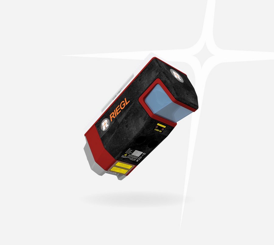
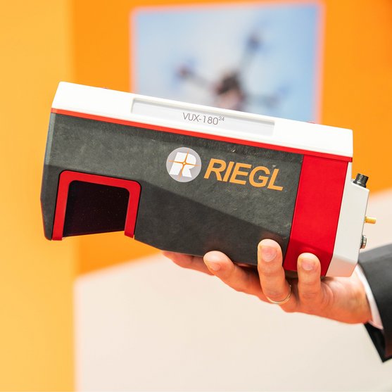
UAV LiDAR Sensor for High-Speed Corridor Mapping
The RIEGL VUX-18024 makes use of RIEGL's unique Waveform-LiDAR technology, allowing echo digitization and online waveform processing. Multi-target resolution is the basis for penetrating even dense foliage.
For smooth and straight forward data storage, the scanner provides an internal data storage capacity of 2 TByte and a removeable CFast® card. Interfaces for the integration of an appropriate external IMU/GNSS system and up to five optional external cameras are available.
The sophisticated design of the RIEGL VUX-18024 – already proven in the RIEGL VUX-120, VUX-160, and VUX-240 series – enables smooth integration with fast-flying UAS/UAV/RPAS, small manned aeroplanes and helicopters. It is offered both, as stand-alone UAV LiDAR sensor and also in various fully-integrated UAV-based laser scanning system configurations with appropriate IMU/GNSS system and optional cameras. This allows the scanner to perfectly meet all the specific requirements of the customers' applications.
RIEGL‘S HIGH-PRECISION IMU/GNSS SOLUTION
RIEGL RiLOC-F
RIEGL offers a fully integrated VUX-series LiDAR solution with a high-precision inertial subsystem for localization and orientation (Localization/Orientation Component), the RiLOC-F.
The version of the RIEGL VUX-18024 includes a high-precision Micro Electro Mechanical System (MEMS) Inertial Measurement Unit (IMU), a GNSS unit, and appropriate software. All components are included in a compact and lightweight housing, that is directly attached to the scanner.
The combination of the LiDAR sensor and RiLOC-F into a compact complete LiDAR system is the ideal solution for small-scale LiDAR surveying with drones. In such applications, using a nearby local base station ensures the shortest base length and thus maximum accuracy in the georeferencing of the high-precision LiDAR data from the RIEGL VUX-series high-precision LiDAR sensor.
Main Features
- scan speed up to 800 lines/second
- laser pulse repetition rate up to 2.4 MHz
- measurement rate up to 2,000,000 meas./sec
- operating flight altitude up to 980 m / 3,250 ft
- Field of View up to 75°
- compact & lightweight (2.7 kg / 5.9 lbs)
- easily mountable to unmanned platforms (UAVs) and small manned aircraft
- cutting edge RIEGL technology providing: echo signal digitization, multiple target capability, online waveform processing, multiple-time-around processing
- mechanical and electrical interface for IMU/GNSS integration
- NEW OPTION:
fully integrated IMU/GNSS system RIEGL RiLOC-F inside - interfaces for up to 5 external cameras
- scan data storage on internal SSD Memory
- removeable CFAST® memory card

Main Applications
- High Speed Corridor Mapping and High-Density Applications: e.g. mapping and monitoring of critical infrastructure like power lines, railway tracks, pipelines, runways
- Topography in Open-Cast Mining
- Surveying of Urban Environments
- Agriculture & Forestry
Technical Data Overview
| Laser Pulse Repetition Rate PRR | 300 kHz | 600 kHz | 1200 kHz | 1800 kHz | 2400 kHz |
|---|---|---|---|---|---|
| Max. Measuring Range (p ≥ 20%) | 810 m | 590 m | 420 m | 350 m | 300 , |
| Max. Measuring Range (p ≥ 60%) | 1340 m | 980 m | 710 m | 590 m | 510 m |
| Max. Measuring Range (p ≥ 80%) | 1520 m | 1120 m | 810 m | 670 m | 590 m |
| Max. Number of Targets per Pulse | 32 | 24 | 11 | 7 | 5 |
| Minimum Range | 5 m | 5 m | 5 m | 5 m | 5 m |
| Accuracy / Precision | 10 mm / 5 mm | 10 mm / 5 mm | 10 mm / 5 mm | 10 mm / 5 mm | 10 mm / 5 mm |
Software for RIEGL VUX-18024
We complement our high-performance hardware with innovative software packages to create powerful solutions for demanding applications. The RIEGL software packages are exclusively bundled with the appropriate RIEGL laser scanners and laser scanning systems. For this RIEGL product we provide:
These RIEGL software packages are complemented by special libraries (RiVLib, RDBLib) and plugins (RiMAP Plugin for ArcGIS).
Explore some selected pointcloud samples.

CONTACT
Get in touch.
All you need to know about our products or any other RIEGL solution – our Team is taking your questions:
Product Inquiry
Technical Support:
info@riegl.asia
General Questions:
info@riegl.asia
+852 21808374


