RiPROCESS
- RIEGL Image Anonymizer: Detect and blur faces and license plates in the images of your scan projects
- AI Airborne LiDAR Point Cloud Classification
With a few clicks, extract valuable insights into ground characteristics, vegetation distribution, and building structures of your airborne point clouds - AI Mobile LiDAR Point Cloud Classification
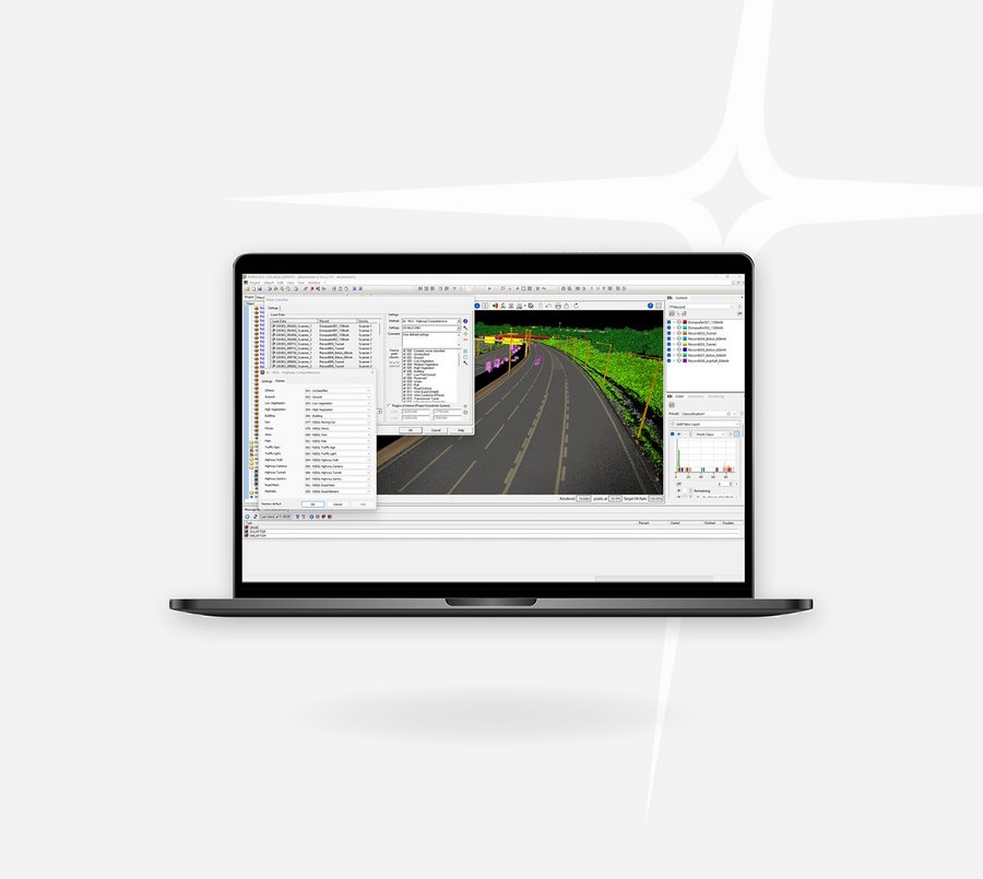
Classify urban mobile point clouds to ground, vegetation and building plus additional street assets as car, pole, traffic sign and light, road markings and more. Furthermore a dedicated classifier for highway datasets is available that offers additional classes like gantry, wall and tunnel.
RiSCAN PRO
- RIEGL Image Anonymizer: Detect and blur faces and license plates in the images of your scan projects
- Support of Black/White Targets: Identify automatically your special rectangular pattern target in your terrestrial point cloud data
Deep Learning Suite
News & Insights

CONTACT
Get in touch.
All you need to know about our products or any other RIEGL solution – our Team is taking your questions:
Product Inquiry
Technical Support:
info@riegl.asia
General Questions:
info@riegl.asia
+852 21808374

