
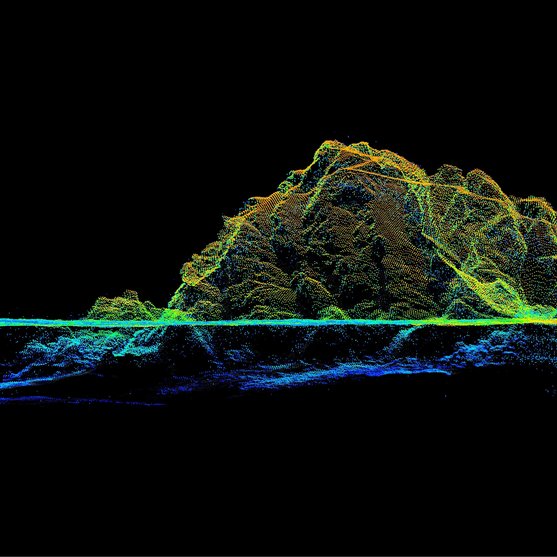
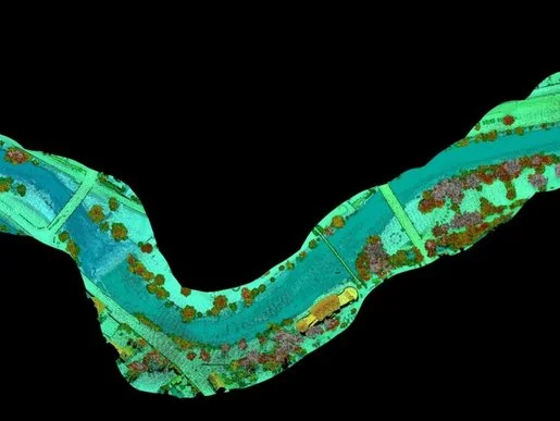
The strengths of LiDAR technology in a hydrographic context are the collection of seamless data sets that span the land/water interface, enabling high-resolution surveying of both above and below water surface topology with high efficiency.
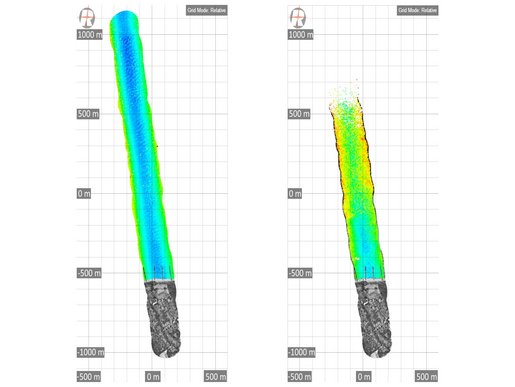
BATHYMETRIC SCANNING
Products
ECONOMY VERSION

RIEGL VQ-840-GE
ENTRY LEVEL SYSTEM

RIEGL VUX-820-G NEW
HIGHEST DEPTH PERFORMANCE

RIEGL VQ-860-G
HIGH PERFORMANCE

RIEGL VQ-840-GL
Not sure which product is right for you? Find the right product for your application with our
BATHYMETRIC SCANNING
Case Studies


BATHYMETRIC SCANNING
News & Insights


CONTACT
Get in touch.
Our team is happy to answer any questions you may have about RIEGL products and solutions. For technical support or general inquiries, please use the contact details below.
Technical Support:
support@rieglusa.com
+1 (407) 248 9927
+1 (321) 474 2518 (After Hours)
General Questions:
info@rieglusa.com
+1 (407) 248 9927
Looking for more information?
Send us your request using the product inquiry form.