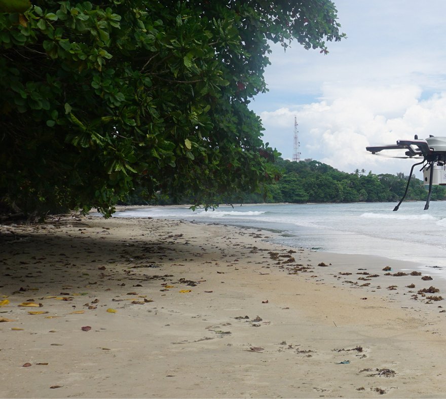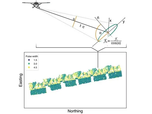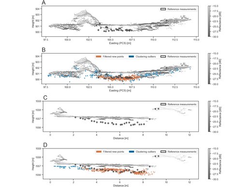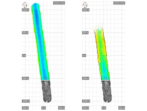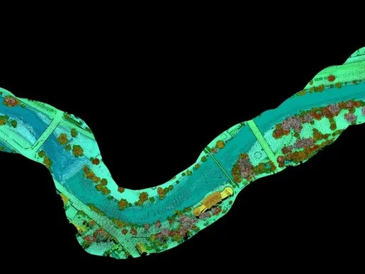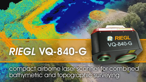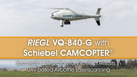
The strengths of LiDAR technology in a hydrographic context are the collection of seamless data sets that span the land/water interface, enabling high-resolution surveying of both above and below water surface topology with high efficiency.
BATHYMETRIC SCANNING
Products
ECONOMY VERSION

RIEGL VQ-840-GE
ENTRY LEVEL SYSTEM

RIEGL VUX-820-G NEW
HIGHEST DEPTH PERFORMANCE

RIEGL VQ-860-G
HIGH PERFORMANCE

RIEGL VQ-840-GL
Not sure which product is right for you? Find the right product for your application with our
BATHYMETRIC SCANNING
News & Insights

CONTACT
Get in touch.
All you need to know about our products or any other RIEGL solution – our Team is taking your questions:
Product Inquiry
Technical Support:
support@riegl.com
General Questions:
office@riegl.com
+43 2982 4211
