COMPLETE SOLUTION FOR SURVEYING UNDERWATER STRUCTURES AND TOPOGRAPHY
Small and Lightweight Topo-Bathymetric Airborne LiDAR System
RIEGL’s “All-in” Package includes:
- compact, powerful LiDAR sensor providing up to 2.2 Secchi depth
- RIEGL RiLOC-F inside inertial navigation system
- an integrated RGB camera to complement the LiDAR data with imagery
- RIEGL's proprietary software licenses for generating georeferenced and refraction-corrected point clouds
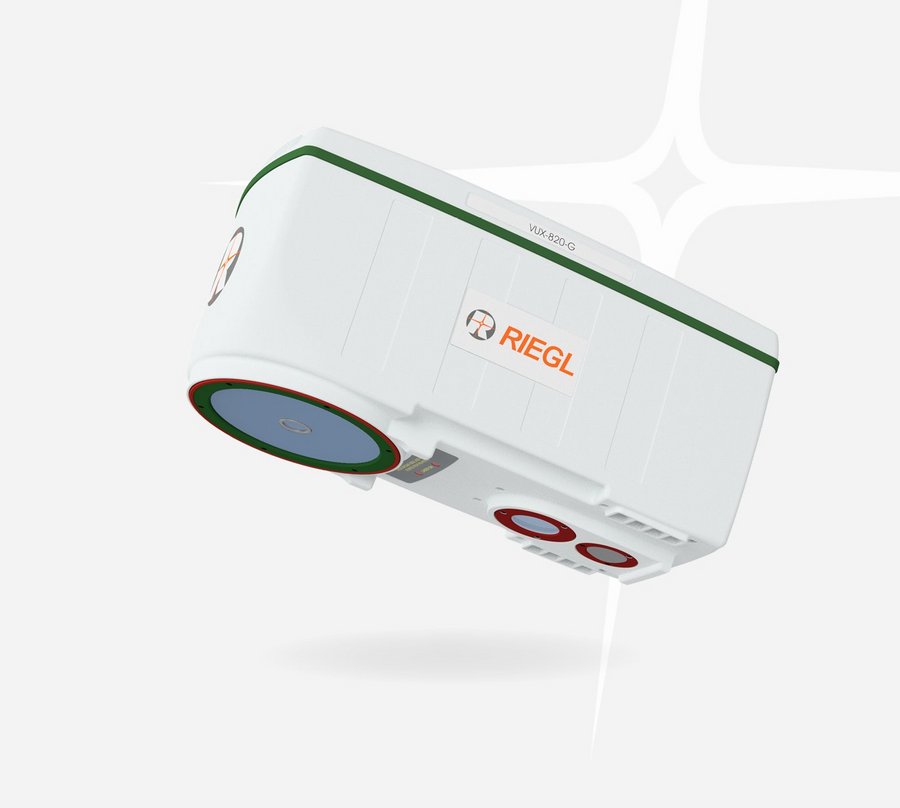
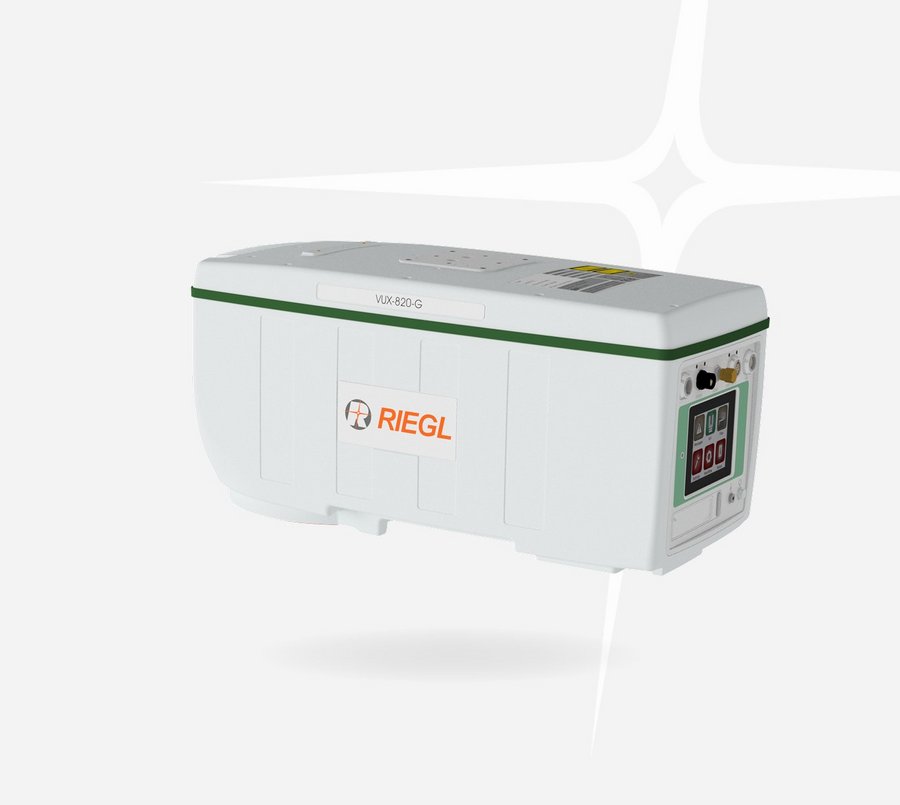
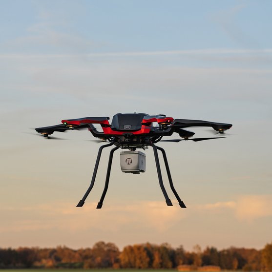
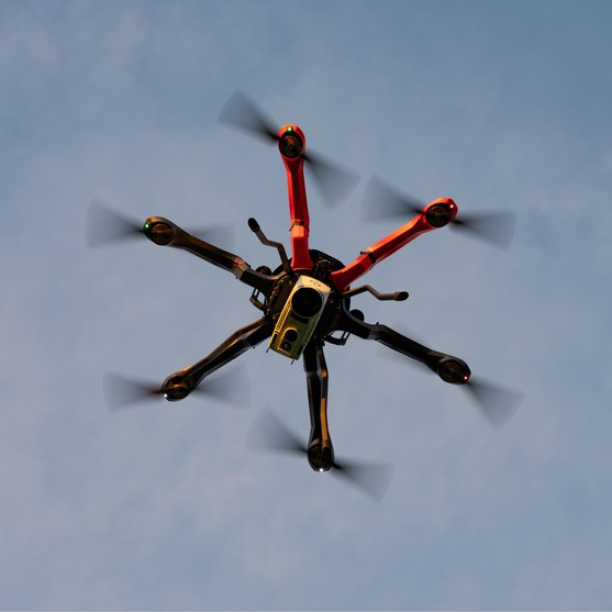
The compact design and the light weight of just 5.7 kg / 12.5 lbs make the RIEGL VUX-820-G especially well-suited for use on UAVs. Extra features like a display and status LEDs enhance interactive handling and operation.
The VUX-820-G, RIEGL’s complete solution for topo-bathymetric surveys, makes the bathymetric LiDAR more accessible by enabling easy integration and operation.
Main Features
- lightweight 5.7 kg (12.5 lbs)
- Integrated RIEGL RiLOC-F inside inertial navigation system
- Integrated RGB camera
- designed for combined topographic and bathymetric UAV-based survey
- high accuracy ranging based on echo digitization and online waveform processing with multiple-target capability
- concurrent comprehensive full waveform storage for all measurements
- high spatial resolution due to measurement rate of up to 100 kHz and high scanning speed of up to 50 scans/sec
- compact, lightweight and robust housing for easy mounting on UAV or integration into payload pods when used with crewed aircraft
- status information display and system parametrization via user interface

Main Applications
- Coastline and Shallow Water Mapping
- River and Water Reservoir Surveying
- Monitoring Tasks in Hydro Engineering and Harbor Management
- Hydro Archeology
Technical Data Overview
| Measurement Rate | 5 kHz | 50 kHz | 100 kHz |
|---|---|---|---|
| Max. Water Depth Penetration in Secchi Depths | 2.2 | 2.0 | 1.8 |
| Minimum Range | 20 m | 20 m | 20 m |
| Accuracy / Precision | 20 mm / 15 mm | 20 mm / 15 mm | 20 mm / 15 mm |
| Laser Wavelength | 532 nm, green | 532 nm, green | 532 nm, green |
Software for RIEGL VUX-820-G
We complement our high-performance hardware with innovative software packages to create powerful solutions for demanding applications. The RIEGL software packages are exclusively bundled with the appropriate RIEGL laser scanners and laser scanning systems. For this RIEGL product we provide:
For smooth processing of scan data acquired with RIEGL Hydrography Laser Scanners the Airborne Data Processing Software AddOn RiHYDRO is offered as supplement to RiPROCESS.
The RIEGL software packages are further complemented by special libraries (RiVLib, RDBLib) and plugins (RiMAP Plugin for ArcGIS).
RIEGL VUX-820-G
News & Insights
CONTACT
Get in touch.
All you need to know about our products or any other RIEGL solution – our Team is taking your questions:
Product Enquiry
Technical Support:
support@rieglusa.com
+1 (407) 248 9927
+1 (321) 474 2518 (After Hours)
General Questions:
info@rieglusa.com
+1 (407) 248 9927
