NEWS, CASE STUDY
High-Precision Mobile Mapping for Accurate Road Surface Condition Parameters

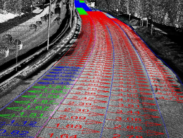
GIS Resources recently published an article featuring Nordic Geo Center and how RIEGL Mobile Mapping LiDAR technology is being utilized to produce road surface condition parameters that pass the official VTI (The Swedish National Road and Transport Research Institute) tests conducted in Sweden. Not all commercial mobile LiDAR systems can produce accurate enough data to meet these requirements and that was a key component in Nordik Geo Center’s selection of RIEGL Mobile LiDAR for this project, due to its high precision and exceptional image quality.

Learn more about how Nordic Geo Center has spanned the last decade going from a RIEGL VMX-450 to a VMX-2HA, and how LiDAR has opened new possibilities in road surveying that meet and exceed today’s requirements in the field.
Read the full article: 2023-12_Article_High-Precision_Mobile_Mapping_for_Accurate_Road_Surface_Condition_Parameters.pdf (riegl.com)


