FOR INFRASTRUCTURE APPLICATIONS
High-Performance Corridor Mapping System
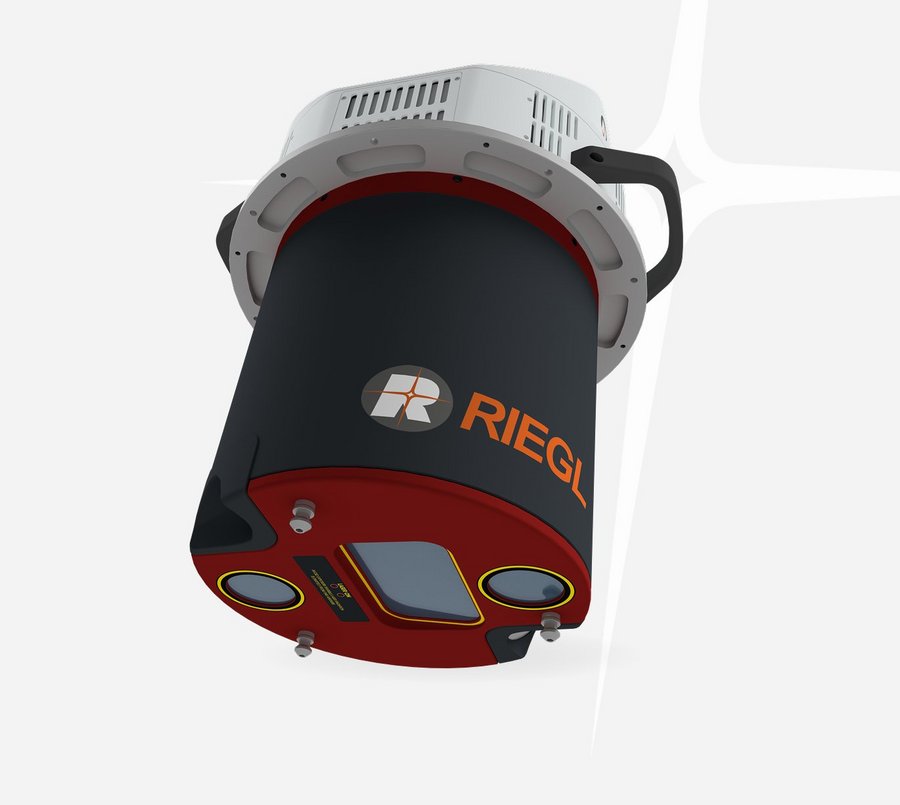
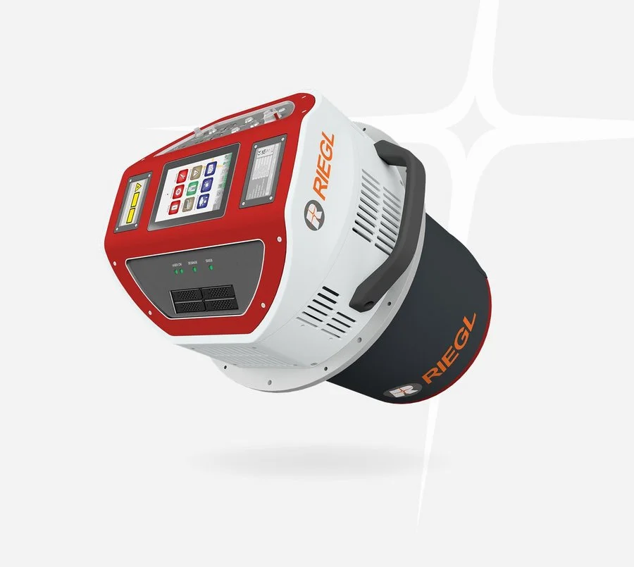
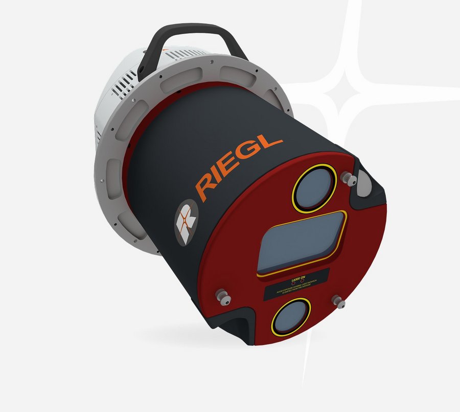
RIEGL's VQ-1060 seamlessly integrates multi-directional 3D laser scanning, forward and aft oblique RGB imagery, and nadir multispectral imaging into a single, streamlined platform.
The system integrates the core module of the RIEGL VQ-680 LiDAR scanner with two oblique RGB cameras, oriented at 45° forward and backward, as well as two nadir cameras – one RGB camera and one near-infrared (NIR) camera. Additionally, the VQ-1060 features a high-end IMU/GNSS system and an integrated data recorder for both, scan data and image data storage, ensuring seamless data collection.
Whether you're conducting utility asset inspections, vegetation encroachment analysis, or corridor planning, the VQ-1060 provides ultra-high-resolution data with unmatched efficiency – all from a single instrument.
Main Features
- high pulse repetition rates of up to 2.4 MHz
- up to 2 million measurements per second on the ground
- forward / nadir / backward scan directions at +20 / +10 / 0 / -10 / -20 degrees
- wide field of view of 60 degrees
- multiple target capability
- online waveform processing
- supporting up to four integrated cameras
- integrated IMU/GNSS system
- compatible with typical gyro stabilizing mounts

Main Applications
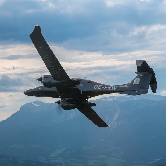
- Corridor Mapping
- Mapping of Complex Urban Environments
- City Modeling
- Ultra-High Resolution Mapping
- Oblique Mapping of Vertical Structures
- Forestry
Technical Data Overview
| Laser Power Level | 100 % | 100 % | 100 % | 100 % | 100 % |
|---|---|---|---|---|---|
| Laser Pulse Repetition Rate PRR | 300 kHz | 600 kHz | 1200 kHz | 1800 kHz | 2400 kHz |
| Max. Measuring Range (natural targets p ≥ 20%) | 3020 m | 2310 m | 1740 m | 1460 m | 1290 m |
| Max. Measuring Range (natural targets p ≥ 60%) | 4470 m | 3510 m | 2710 m | 2310 m | 2060 m |
| Minimum Range | 20 m | 20 m | 20 m | 20 m | 20 m |
| Max. Number of Targets per Pulse | 32 | 24 | 11 | 7 | 5 |
Software for RIEGL VQ-1060
We complement our high-performance hardware with innovative software packages to create powerful solutions for demanding applications. The RIEGL software packages are exclusively bundled with the appropriate RIEGL laser scanners and laser scanning systems. For this RIEGL product we provide:
These RIEGL software packages are complemented by special libraries (RiVLib, RDBLib) and plugins (RiMAP Plugin for ArcGIS).
Explore some selected pointcloud samples.
RIEGL VQ-1060
News & Insights
CONTACT
Get in touch.
All you need to know about our products or any other RIEGL solution – our Team is taking your questions:
Product Enquiry
Technical Support:
support@rieglusa.com
+1 (407) 248 9927
+1 (321) 474 2518 (After Hours)
General Questions:
info@rieglusa.com
+1 (407) 248 9927
