
Where water meets land, changes take place.
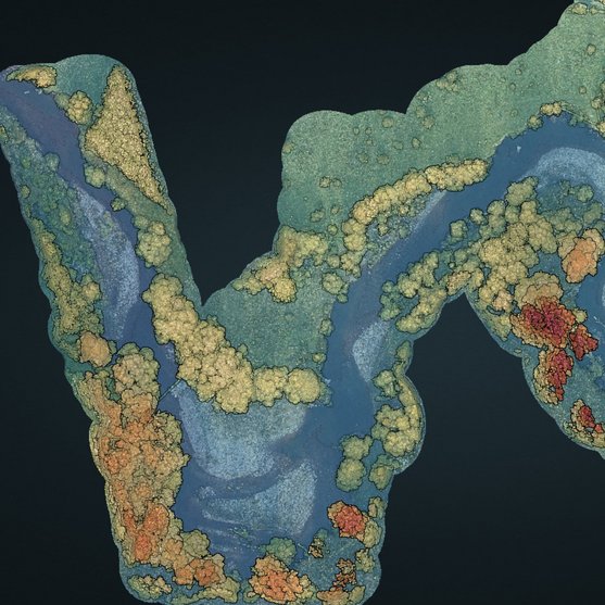
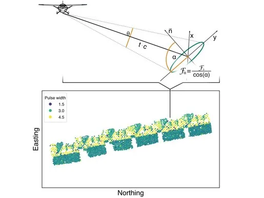
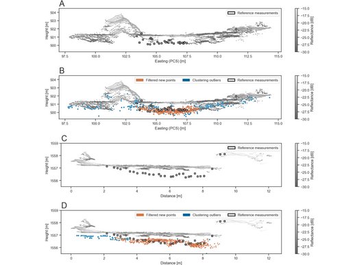
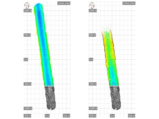
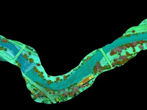
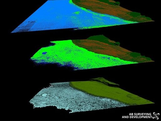
Close monitoring of areas like shore lines, harbor environment, or river degradation zones is a necessity. RIEGL’s UAV-based LiDAR systems are especially interesting for survey missions that need to be carried out at more frequent intervals or at shorter notice. Close-up aerial surveys by drone or crewed aircraft flown at low altitude allow detailed and comprehensive mapping and subsequent analysis of complex environments. Submerged targets like artificial structures, topographic features, or vegetation can be localized and identified. Airborne LiDAR Bathymetry (ALB) is the core technology for coastline cartography, detection of submerged and floating targets, hydraulic engineering, hydro-archeological surveying or river mapping. By combining airborne topo-bathymetric LiDAR data with high-resolution topographic 3D terrestrial data or with data from other acquisition sources (e.g. sonar), an even greater density of information can be achieved.
COASTLINE & SHALLOW WATER SURVEY
Products

RIEGL VQ-840-GE

RIEGL VUX-820-G NEW

RIEGL VQ-860-G

RIEGL VQ-840-GL
Not sure which product is right for you? Find the right product for your application with our
COASTLINE & SHALLOW WATER SURVEY
Case Studies


COASTLINE & SHALLOW WATER SURVEY
News & Insights


CONTACT
Get in touch.
Our team is happy to answer any questions you may have about RIEGL products and solutions. For technical support or general inquiries, please use the contact details below.
Technical Support:
click here
General Questions:
sales@riegl.co.uk
+44 (0) 1904 217785
Looking for more information?
Send us your request using the product inquiry form.