
3D asset collection, inspection and maintenance for electrical utilities
LiDAR technology offers a variety of benefits for in the context of electrical utilities, enhancing the way electrical infrastructure is planned, maintained and operated. The RIEGL line up of laser scanners and laser scanning systems provide a wide range of instruments perfectly suited for the different applications.
For Terrain and Topography Mapping, LiDAR can create high-resolution maps of the project area, which is crucial for planning the installation of new infrastructure and for assessing potential risks such as landslides or flooding.
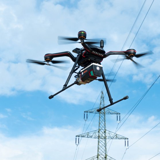
Operating electrical infrastructures requires a regular monitoring of the installations. By means of corridor mapping whether by aircraft or drone, LiDAR allows for precise mapping of power lines and distribution lines, which is essential for planning, maintenance, and ensuring compliance with regulatory requirements. For instance, LiDAR can accurately detect and monitor vegetation growth near power lines. This helps utilities to plan and execute vegetation management programs to prevent outages and failures.
In Asset Inventory and Management programs, LiDAR provides the fundamental 3D data for the extraction of detailed 3D models of utility assets, including poles, wires, transformers, and other infrastructure components. Sag and sway parameters can be extracted from the LiDAR point clouds. By providing accurate and up-to-date information, LiDAR helps utilities ensure compliance with safety regulations and standards, reducing the risk of accidents and improving overall safety.
In the event of natural disasters, severe weather incidents, LiDAR can quickly assess damage to utility infrastructure, aiding in rapid response and recovery efforts to minimize downtime.
ENERGY UTILITIES
Products

RIEGL VMX-2HA

RIEGL VMX-3HA NEW

RIEGL VUX-1HA22

RIEGL VUX-3HA

RIEGL VQ-1560 III-S

RIEGL VQ-1460

RIEGL VQ-1260

RIEGL VQ-1060

RIEGL VQ-780 II-S

RIEGL VQ-680

RIEGL VQ-580 II-S

RIEGL VQ-480 II

RIEGL VUX-1LR22

RIEGL VUX-24024

RIEGL VP-1

RIEGL VPX-1

RIEGL VQX-2 Helicopter Pod

RIEGL VQX-1 Wing Pod

RIEGL VUX-18024

RIEGL VUX-16023

RIEGL VUX-12023

RIEGL VUX-10025
Not sure which product is right for you? Find the right product for your application with our
ENERGY UTILITIES
Case Studies

ENERGY UTILITIES
News & Insights


CONTACT
Get in touch.
Our team is happy to answer any questions you may have about RIEGL products and solutions. For technical support or general inquiries, please use the contact details below.
Technical Support:
jsupport@riegl-japan.jp
General Questions:
office@riegl-japan.co.jp
+81 (3) 3382 7340
Looking for more information?
Send us your request using the product inquiry form.