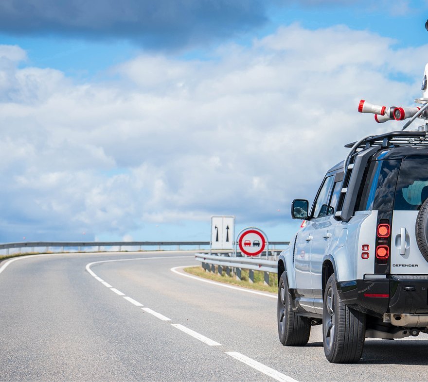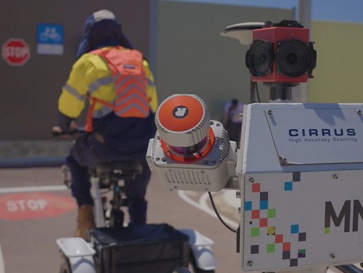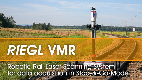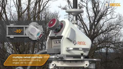
RIEGL laser scanners are ideally suited for mobile mapping applications. In order to register scan data acquired from moving platforms, such as boats, trains, road and off-road vehicles, the laser scanner is supplemented by position and attitude sensors, for example GPS (Global Positioning System) and IMU (Inertial Measurement Unit).
All RIEGL scanners are rugged and fully portable instruments, tested under strict conditions for a reliable performance even under highly demanding environmental conditions.
To enhance the capability of RIEGL's software suite, RIEGL's Deep Learning Suite of artificial intelligence methods is now available to support users with special tools in processing of terrestrial and kinematic data. You will find a first overview here.
MOBILE SCANNING
Products

RIEGL VMY-1

RIEGL VMY-2

RIEGL VMQ-1HA

RIEGL VMQ-3HA NEW

RIEGL VMX-2HA

RIEGL VMX-3HA NEW

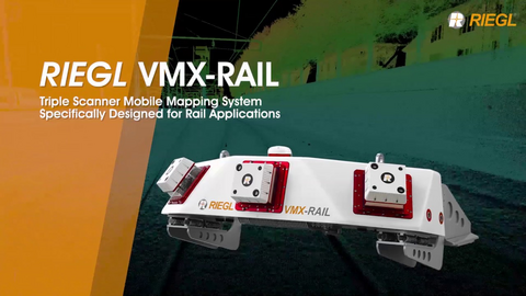
RIEGL VMX-RAIL

RIEGL miniVUX-HA

RIEGL VUX-1HA22

RIEGL VUX-3HA NEW
Not sure which product is right for you? Find the right product for your application with our
MOBILE SCANNING
News & Insights

CONTACT
Get in touch.
All you need to know about our products or any other RIEGL solution – our Team is taking your questions:
Product Inquiry
Technical Support:
jsupport@riegl-japan.jp
General Questions:
office@riegl-japan.co.jp
+81 (3) 3382 7340
