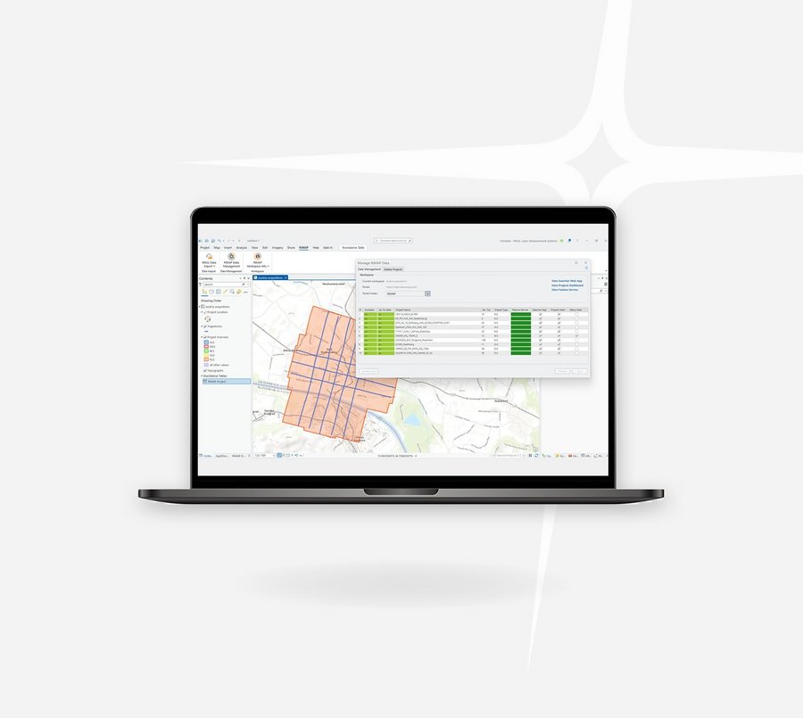
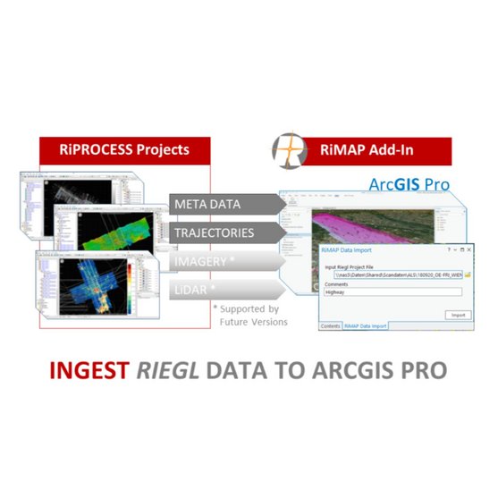
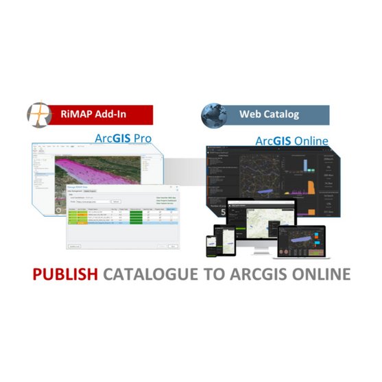
In addition, RiMAP uses ArcGIS Online to create and publish web applications and dashboards to enable users to easily search for previous LiDAR collections and to better understand where and how they have utilized their laser scanners.
It meets the business needs of operational efficiency, performance monitoring, site analysis and territory planning, as well as of asset tracking and analysis and is a valuable tool for applications in many industries, e.g., architecture, engineering & construction, electric and gas utilities, state and local government, water, and transportation.
To get your free copy of RiMAP you can download it from the Esri Marketplace or see the download link below.
Download Plugin

CONTACT
Get in touch.
All you need to know about our products or any other RIEGL solution – our Team is taking your questions:
Product Inquiry
Technical Support:
support@riegl.com
General Questions:
office@riegl.com
+43 2982 4211


