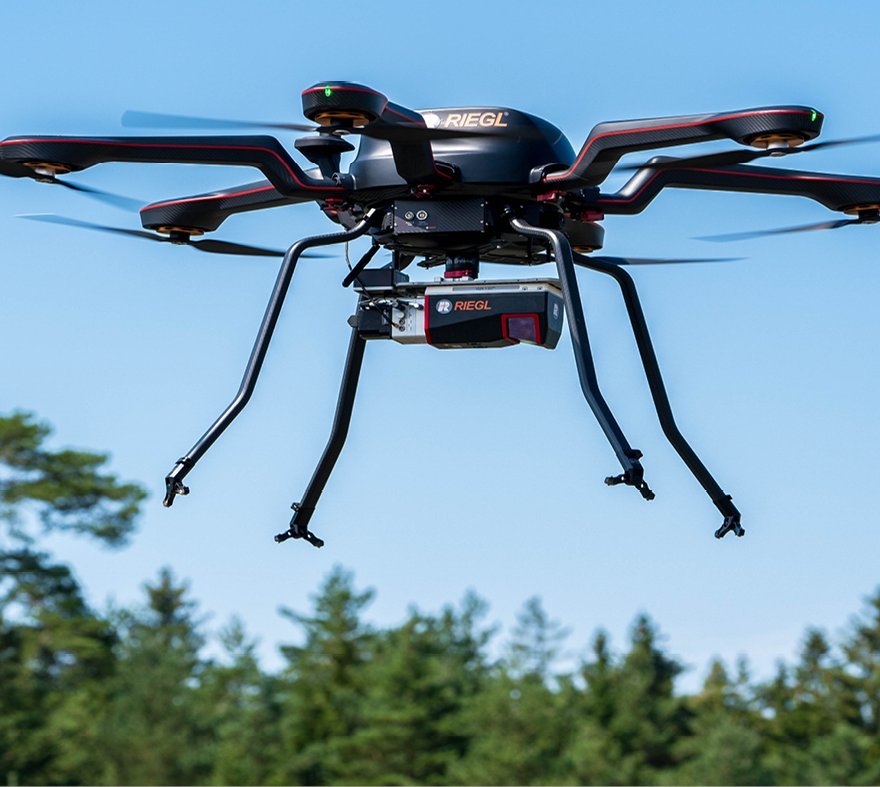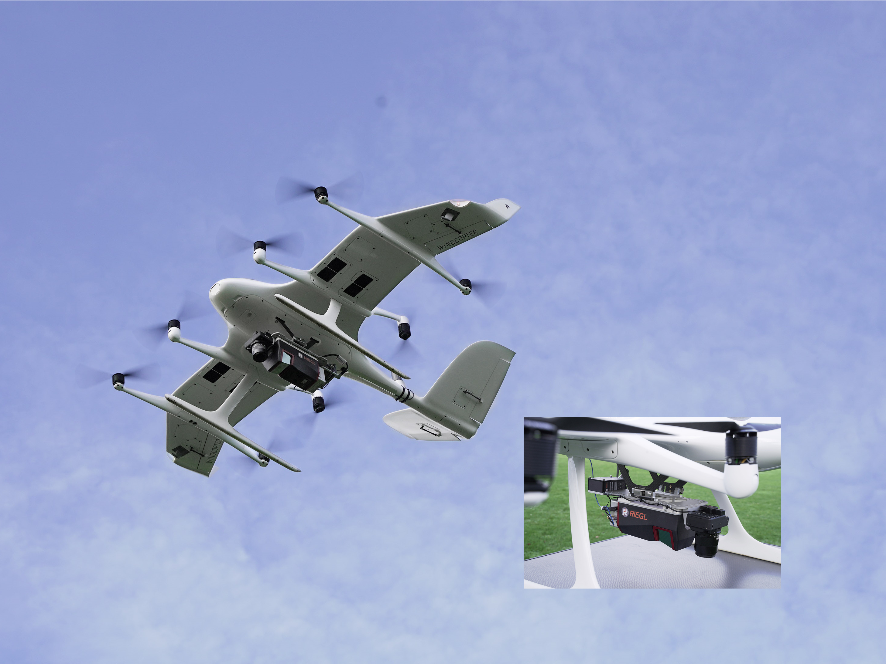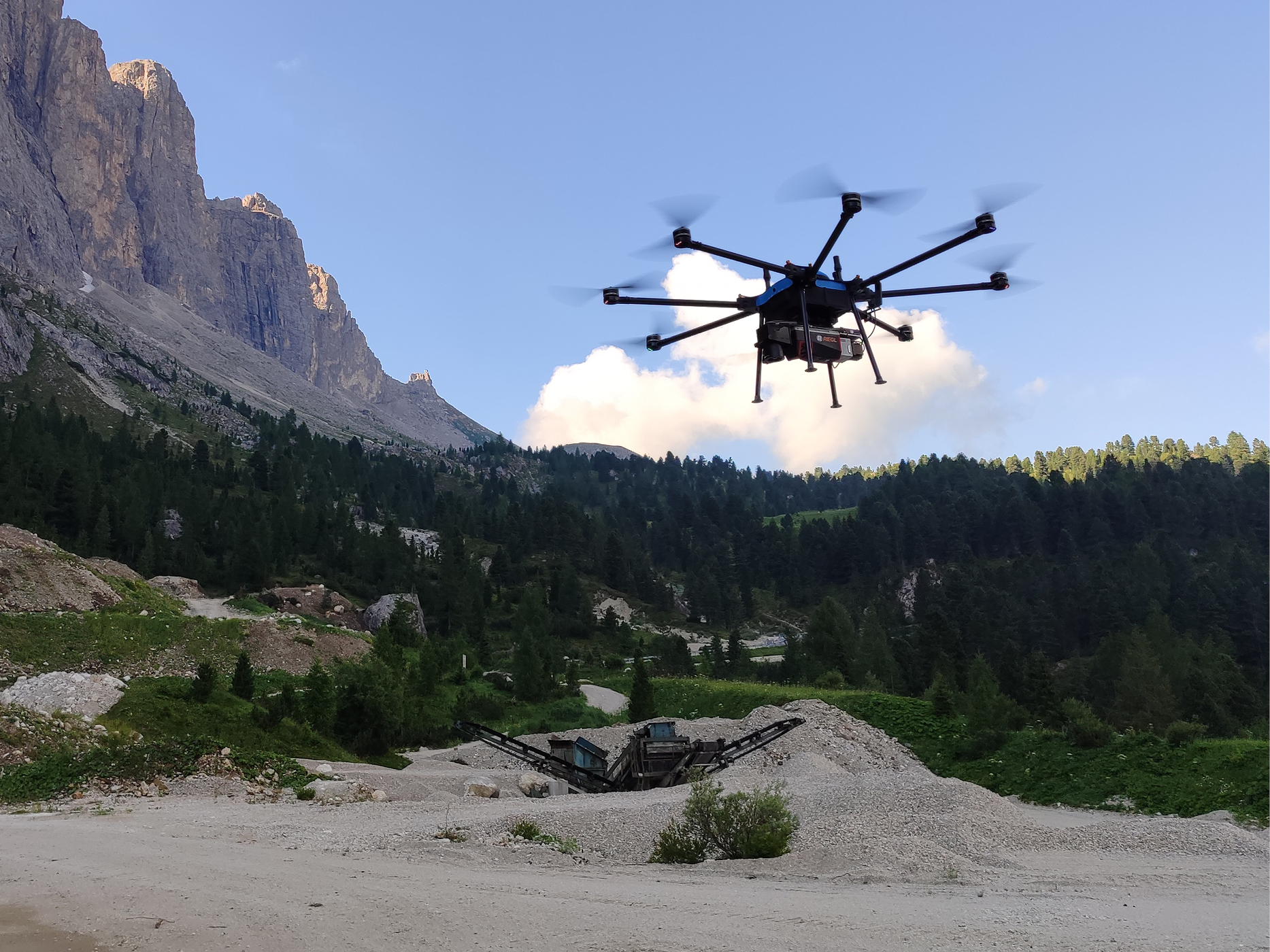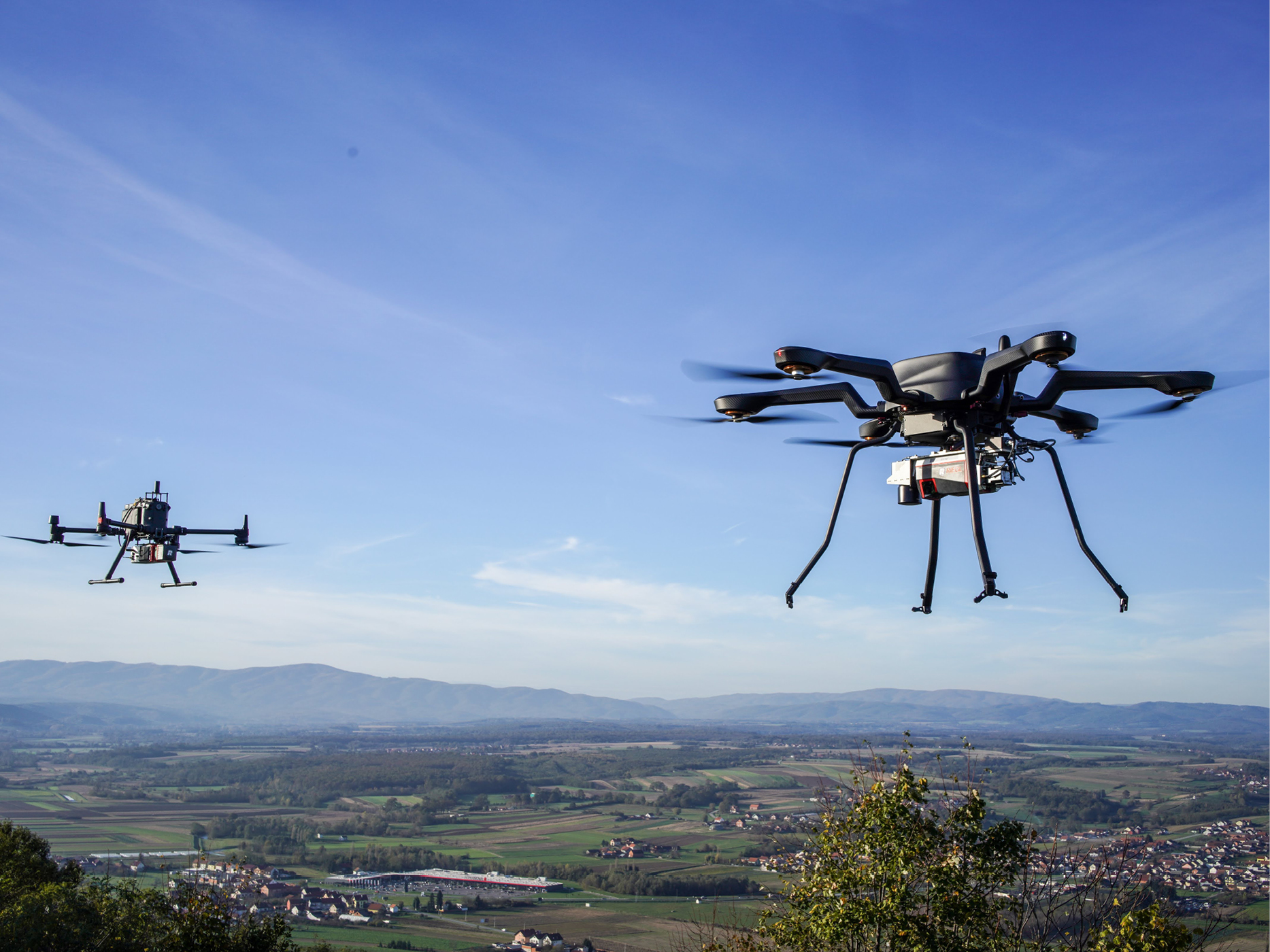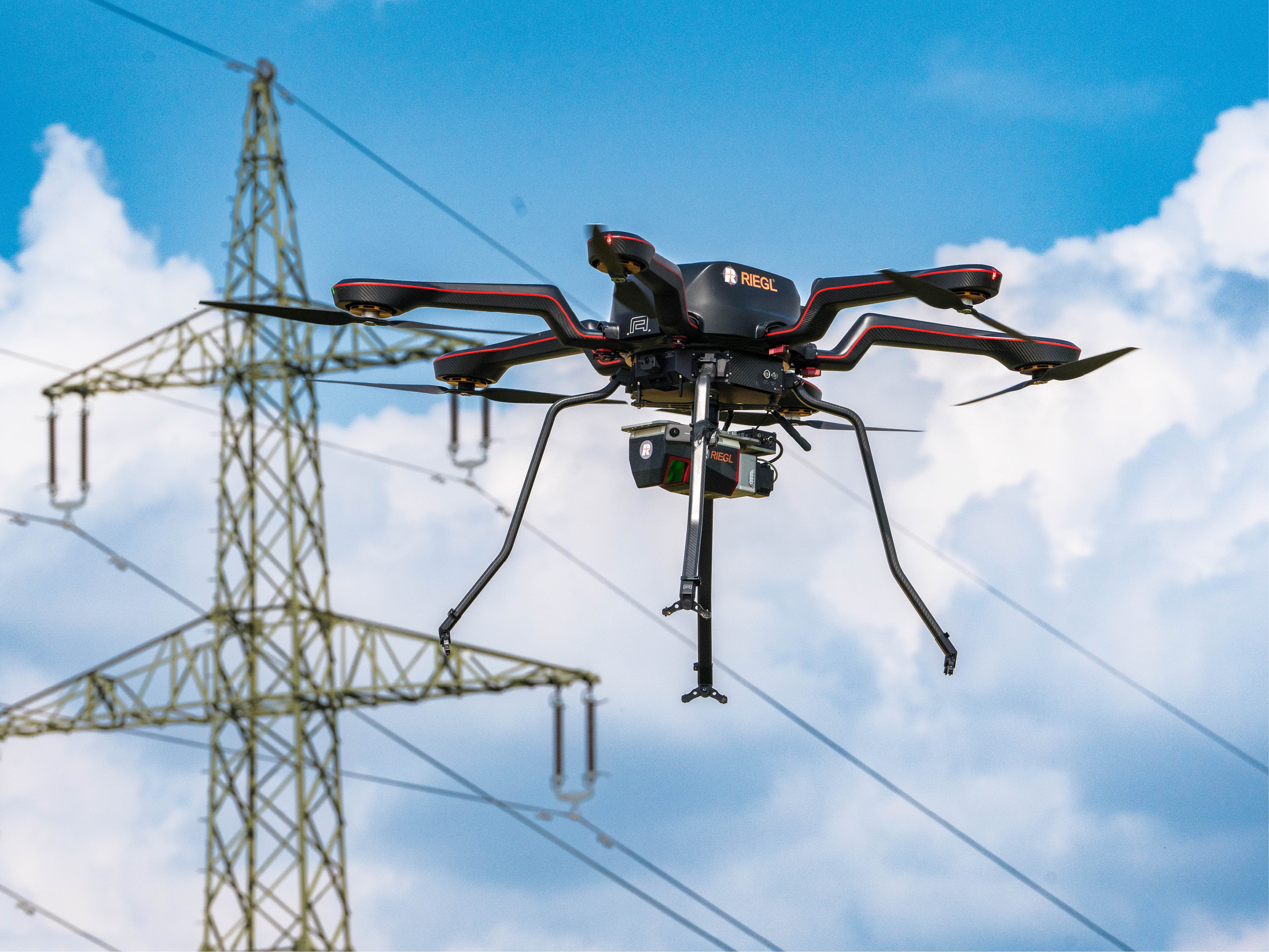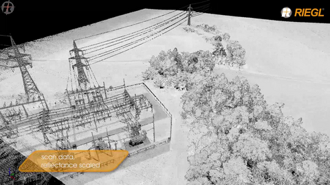
With a new line of ultimate survey-grade airborne scanners especially developed for UAV/UAS/RPAS-based applications RIEGL revolutionizes the commercial and civil market providing first-class technique for this new dynamic topic.
UAV-BASED SCANNING
Products
MEDIUM AREA MAPPING

RIEGL VUX-24024
HIGHEST SCAN SPEED

RIEGL VUX-18024
NFB-SCANNING

RIEGL VUX-16023
NFB-SCANNING

RIEGL VUX-12023
EXTRA LARGE FIELD OF VIEW

RIEGL VUX-10025
360° FIELD OF VIEW

RIEGL VUX-1UAV22
ENTRY LEVEL

RIEGL miniVUX-1UAV
ENTRY LEVEL

RIEGL miniVUX-3UAV
ECONOMY VERSION

RIEGL VQ-840-GE
ENTRY LEVEL SYSTEM

RIEGL VUX-820-G NEW
HIGHEST DEPTH PERFORMANCE

RIEGL VQ-860-G
HIGH PERFORMANCE

RIEGL VQ-840-GL
Not sure which product is right for you? Find the right product for your application with our
UAV-BASED SCANNING
Gallery
UAV-BASED SCANNING
News & Insights

CONTACT
Get in touch.
All you need to know about our products or any other RIEGL solution – our Team is taking your questions:
Product Inquiry
Technical Support:
support@riegl-southamerica.com
General Questions:
contact@riegl-southamerica.com
+56 (0)2 2927 2773
