NEWS, CASE STUDY
Monitoring the Baltic Shoreline Using Airborne LiDAR Bathymetry
GIM International recently published an article outlining the work to verify the feasibility and accuracy of using airborne LiDAR bathymetry (ALB) to monitor the sea’s southern coast in Poland.

The Baltic Sea poses several challenges – for any surveying technology used – when it comes to performing accurate measurements due to it being very turbulent with low water clarity, frequently occurring storms, etc. And these conditions, which result in a rapid change of the seashore, make it a statutory obligation for Poland’s Maritime Offices to permanently monitor the coastline.
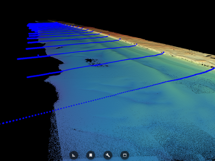
GISPRO SA carried out one of the pilot projects under an order from the Maritime Office in Szczecin, using a RIEGL VQ-880-G II topo-bathymetric laser scanner. Measurements were carried out in a 1-hour flight on October 30, 2022, and demonstrated that ALB is able to deliver the most complete image of the shallow water area in a relatively short time.
These positive results obtained from the pilot project undoubtedly contributed to the tenders for monitoring the entire Baltic coast with ALB. In 2023, Gispro SA completed mapping of the coastline for the Maritime Office in Szczecin, followed by surveying the coastline for the Maritime Office in Gdynia in 2024. In addition to a satisfactory mapping result, it was also possible to scan some shipwrecks, like the Karl Finsterwalder (see below).

Read the full story giving details on the pilot-project: Monitoring the Baltic shoreline using airborne Lidar bathymetry | GIM International (gim-international.com)
About the RIEGL VQ-880-G-II:
The RIEGL VQ-880-G II is a topo-bathymetric airborne laser scanning system that provides exceptional detail of the topography above and below the water surface mapping complex inland waterways, riverine environments, and coastlines.


